OSIRIS
Optical/SAR data and system Integration for Rush Identification of Ship models
Keywords: Maritime traffic surveillance; Optical/SAR image analysis; ship classification; ship kinematics estimation; ship behavior analysis
The OSIRIS project (Optical/SAR data and system Integration for Rush Identification of Ship models) is designed to qualify as activities within the General Support Technology Programme (GSTP), part of the Action "Supporting an innovative and competitive." This action supports projects of international partnership mostly private type (industry and operators), and makes possible the development of new technologies for ESA missions.
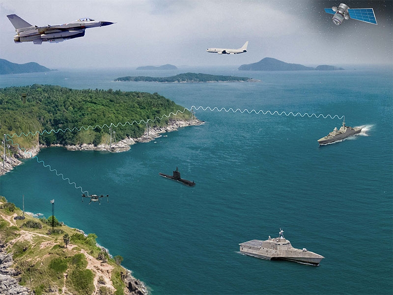
The OSIRIS project aims at designing and implementing an innovative technology platform for applications and Optical/SAR data-integration methodologies, dedicated to marine traffic surveillance for safety/security and countering of illegal activities. This field is rapidly developing for the increasing demand for monitoring services requiring the processing of earth-observation data from different types of sensor (optical, SAR, thermal). The technology platform OSIRIS will be based on the integration of optical high resolution satellite data (EROS-B – and EROS-C if available) and SAR (Sentinel 1 and COSMO-SkyMed), and will provide a classification of the vessels detected, an estimate of their routes and velocities, a prediction of their future routes and their navigation behavior.
The ISTI role in this project is to develop two computational modules to be integrated in the overall system:
- a ship classification module based on geometric and scatterometric features extracted from target images provided by an upstream ship detection module;
- a kinematics estimation module able to compute the speed and the course over the ground of a navigating vessel from an optical or SAR image.